
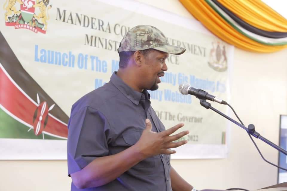
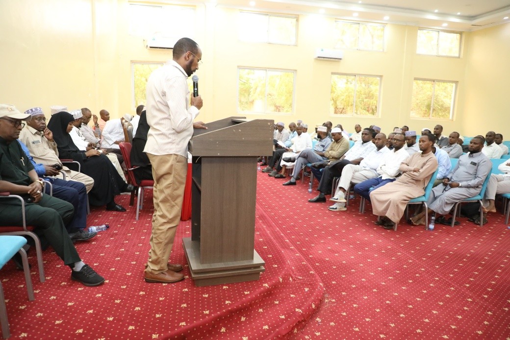
SPEECH BY H.E. CAPT. ALI IBRAHIM ROBA DURING THE LAUNCH OF MANDERA WEBSITE AND GIS MAPPING ON 28TH FEBRUARY, 2022 AT MANDERA COUNTY HEADQUARTERS
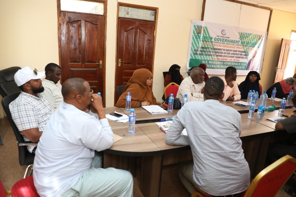
The County Secretary, County Executive Committee Members, Chief Officers and Mandera County Staff present,
Asalam Aleykum Warahmatullahi Wabarakatuhu.
Ladies and gentlemen,
Today, we are here to officially launch two critical programmes for the County government and the people of Mandera as well as Kenyans at large. These two projects are:-
1. The Mandera County Government website
2. Mandera Geographical Information System better known as GIS
THE MANDERA WEBSITE
The Mandera website provides a platform where people can access critical information about the county including development projects, progress reports, county Integrated development plans and budget estimates. It also features news and has embedded videos with valuable information for public consumption.
The website serves as a mirror to the world that provides information on the County’s history, organizational values, codes of ethics, activities ad achievements of key ministries and departments, as well as information regarding elected officials and senior county staff.
The website also provides an interface for online services such as payment of bills, access of business licenses, job applications and tenders. It uses the latest web technology available in the market and comes with better security features. It is user friendly, easy to access, its designed themes stand out from the rest of the county websites. It has an interactive feedback and communication system that allows the public to tender their views, opinions and valuable inputs on the website crucial governance, documents such as County Integrated Development Plans, Annual development plans can be accessed as well open business opportunities for our youth and women who seek to participate in tenders advertised online. It is on this website that the Mandera County Public Service Board advertises employment opportunities. I would therefore urge the members of the public to be regular users of the website to access critical information about county activities and services. Our website can be accessed through www.mandera.go.ke
MANDERA GIS
A geographic information system (GIS) is a system for capturing, storing, checking, and displaying data related to positions on Earth’s surface. It features is a database for managing geographical data. In short if you want to check on any locality in Mandera, you can easily access it to through the GIS system. The main aim of the Mandera GIS is to map and visualize Mandera County’s geospatial data using Google Maps platform. Google Maps provides the layout of roads, the locations of cities, towns and villages, state boundaries, geographical features, restaurant reviews and satellite images. This will enhance the ability to check possible routes and landmarks for faster travel time. Mandera County is the first county to Map its entire landmark on the Google maps platform. The GIS system can be accessed through the county website. The same information will be updated on Google maps in a period of sixty (60) days.
I now declare the County Website and the GIS system officially launched.
Thank you and God bless!


